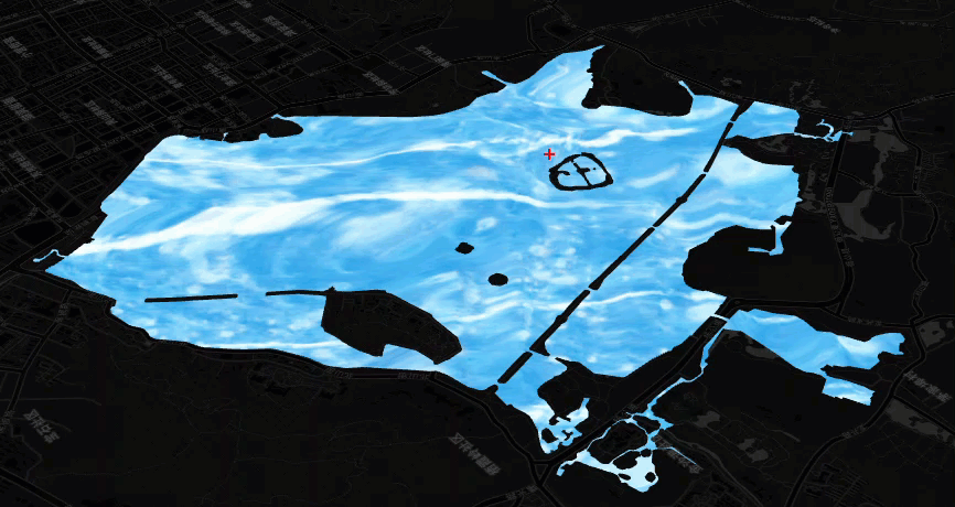
1. coolwater, 确实是很酷的water,其效果也相当不错。对于水域来说,
比单独画一个蓝色的多边形好很多。
2. 首先定义一个CoolWater的扩展对象,然后使用THREE.TextureLoader 进行加载
data/CoolWater-iChannel0.png 和 data/CoolWater-iChannel1.jpg。
1                 let textureLoader = new THREE.TextureLoader();
2                 let iChannel0 = textureLoader.load('data/CoolWater-iChannel0.png');
3                 iChannel0.wrapS = iChannel0.wrapT = THREE.RepeatWrapping;
4                 let iChannel1 = textureLoader.load('data/CoolWater-iChannel1.jpg');
5                 iChannel1.wrapS = iChannel1.wrapT = THREE.RepeatWrapping;
3. 使用 THREE.ShaderMaterial 将textureloader 加载为材质 Material
 1            let material = this.material = new THREE.ShaderMaterial({
 2                     fragmentShader,
 3                     uniforms: {
 4                         iTime: {
 5                             type: 'f',
 6                             value: 0
 7                         },
 8                         iResolution: {
 9                             type: 'v3',
10                             value: new THREE.Vector3(1, 1, 1)
11                         },
12                         iChannel0: {
13                             type: 't',
14                             value: iChannel0
15                         },
16                         iChannel1: {
17                             type: 't',
18                             value: iChannel1
19                         }
20                     }
21                 });
4. 然后根据形状加载对应的材质
1                 let size = layer.getMap().getSize();
2                 material.uniforms.iResolution.value.set(size.width, size.height, 1);
3                 const geometry = getWaterGeometry(polygon, layer);
4                 this._createMesh(geometry, material);
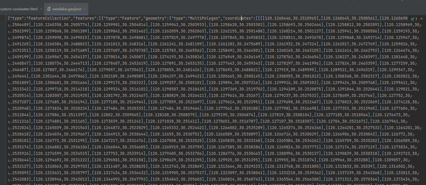
5. 水域的多边形数据使用的是 ./data/westlake.geojson
6. 添加水域
 1  var waters;
 2         function addWater() {
 3             fetch('./data/westlake.geojson').then(function (res) {
 4                 return res.text();
 5             }).then(function (geojson) {
 6                 var polygons = maptalks.GeoJSON.toGeometry(geojson);
 7                 waters = polygons.map(p => new CoolWater(p, {}, threeLayer));
 8
 9                 threeLayer.addMesh(waters);
10
11                 initGui();
12                 threeLayer.config('animation', true);
13                 animation();
14             })
15         }
7. 页面显示
8. 源码地址
https://github.com/WhatGIS/maptalkMap/tree/main/threelayer/demo