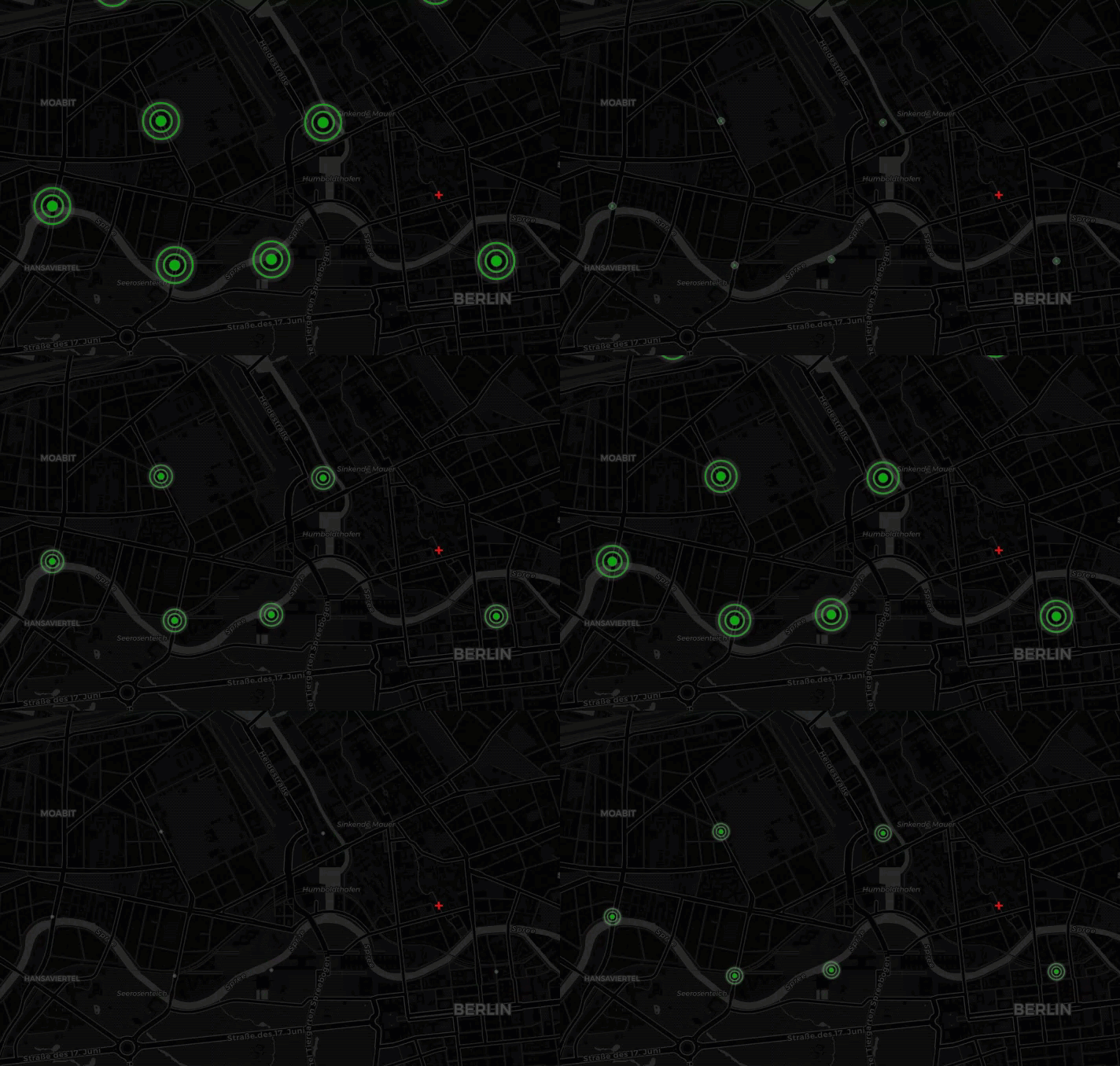
1. 此demo演示了自定义动画的生成,动画的样式为一层层荡开的圆圈,类似与水纹。
2. 此demo中第一次使用了类的扩展对象,将圆圈定义为一个对象,样式和动画在其内部进行定义,外部直接
调用添加到对应的经纬度上即可。
3. 参考代码
扩展对象类中有 _animation 函数,该函数为对象自动执行,可在该该函数中加入动画过程代码。而不需要自己
写个定时器之类的去执行动画。
添加 Circle 对象
 1   var text = Math.round(Math.random() * 10000);
 2             var material = getMaterial(70, text, color);
 3             circles = lnglats.map(function (lnglat) {
 4                 var circle = new Circle(lnglat, {
 5                     radius: 200
 6                 }, material, threeLayer);
 7
 8                 //tooltip test
 9                 circle.setToolTip('id:' + circle.getId(), {
10                     showTimeout: 0,
11                     eventsPropagation: true,
12                     dx: 10
13                 });
14
15
16                 //infowindow test
17                 circle.setInfoWindow({
18                     content: 'id:' + circle.getId(),
19                     title: 'message',
20                     animationDuration: 0,
21                     autoOpenOn: false
22                 });
23
24
25                 //event test
26                 ['click', 'mousemove', 'mouseout', 'mouseover', 'mousedown', 'mouseup', 'dblclick', 'contextmenu'].forEach(function (eventType) {
27                     circle.on(eventType, function (e) {
28                         console.log(e.type, e);
29                     });
30                 });
31                 return circle;
32             });
33             threeLayer.addMesh(circles);
Circle对象扩展类
 1         class Circle extends maptalks.BaseObject {
 2             constructor(coordinate, options, material, layer) {
 3                 options = maptalks.Util.extend({}, OPTIONS, options, { layer, coordinate });
 4                 super();
 5                 //Initialize internal configuration
 6                 // https://github.com/maptalks/maptalks.three/blob/1e45f5238f500225ada1deb09b8bab18c1b52cf2/src/BaseObject.js#L135
 7                 this._initOptions(options);
 8                 const { altitude, radius } = options;
 9                 //generate geometry
10                 const r = layer.distanceToVector3(radius, radius).x
11                 const geometry = new THREE.CircleBufferGeometry(r, 50);
12
13                 //Initialize internal object3d
14                 // https://github.com/maptalks/maptalks.three/blob/1e45f5238f500225ada1deb09b8bab18c1b52cf2/src/BaseObject.js#L140
15                 this._createMesh(geometry, material);
16
17                 //set object3d position
18                 const z = layer.distanceToVector3(altitude, altitude).x;
19                 const position = layer.coordinateToVector3(coordinate, z);
20                 this.getObject3d().position.copy(position);
21                 this._scale = 1;
22                 // this.getObject3d().rotation.x = -Math.PI;
23             }
24
25             // test animation
26             _animation() {
27                 this._scale = (this._scale > 1 ? 0 : this._scale);
28                 this._scale += 0.002;
29                 this.getObject3d().scale.set(this._scale, this._scale, this._scale);
30             }
31         }
4. 页面显示

5. 源码地址
https://github.com/WhatGIS/maptalkMap/tree/main/threelayer/demo