config.xml文件的配置如下:
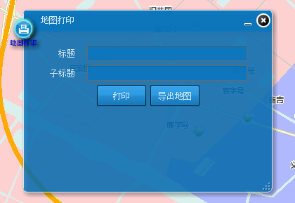
1         <widget label="地图打印"
2             icon="assets/images/map_print.png" config="widgets/Print/PrintWidget.xml"
3             url="widgets/Print/PrintWidget.swf" />
源代码目录如下:

模块的源代码原理解析,详细的代码在下载的开源flexviewer自带的:
大概的思路如下:地图打印主要是调用了arcgis server默认的地图打印服务方式来实现的,地图导出图片格式主要是用
var imageSnap:ImageSnapshot = ImageSnapshot.captureImage(hostBaseWidget.map, 0, pngEnc , false);
fileReference.save(imageSnap.data, "mapSnapShot.jpg");
备注:
GIS技术交流QQ群:432512093