geotool案例1,快速显示shapefile
1、初始化maven项目,pom.xml如下:
<?xml version="1.0" encoding="UTF-8"?>
<project xmlns="http://maven.apache.org/POM/4.0.0"
         xmlns:xsi="http://www.w3.org/2001/XMLSchema-instance"
         xsi:schemaLocation="http://maven.apache.org/POM/4.0.0 http://maven.apache.org/xsd/maven-4.0.0.xsd">
    <modelVersion>4.0.0</modelVersion>

    <groupId>cn.selfree</groupId>
    <artifactId>test</artifactId>
    <version>1.0</version>

    <name>demo</name>
    <description>Demo project for spring boot</description>

    <!--    定义属性-->
    <properties>
        <project.build.sourceEncoding>UTF-8</project.build.sourceEncoding>
        <geotools.version>22-SNAPSHOT</geotools.version>
    </properties>
    <!--定义父依赖-->
    <parent>
        <groupId>org.springframework.boot</groupId>
        <artifactId>spring-boot-starter-parent</artifactId>
        <version>1.3.5.RELEASE</version>
        <relativePath/>
    </parent>

    <!--    定义依赖-->
    <dependencies>
        <dependency>
            <groupId>org.springframework.boot</groupId>
            <artifactId>spring-boot-starter-web</artifactId>
        </dependency>

        <dependency>
            <groupId>org.springframework.boot</groupId>
            <artifactId>spring-boot-starter-test</artifactId>
            <scope>test</scope>
        </dependency>

        <dependency>
            <groupId>junit</groupId>
            <artifactId>junit</artifactId>
            <version>4.11</version>
            <scope>test</scope>
        </dependency>
        <dependency>
            <groupId>org.geotools</groupId>
            <artifactId>gt-shapefile</artifactId>
            <version>${geotools.version}</version>
        </dependency>
        <dependency>
            <groupId>org.geotools</groupId>
            <artifactId>gt-swing</artifactId>
            <version>${geotools.version}</version>
        </dependency>
    </dependencies>

    <repositories>
        <repository>
            <id>maven2-repository.dev.java.net</id>
            <name>Java.net repository</name>
            <url>http://download.java.net/maven/2</url>
        </repository>
        <repository>
            <id>osgeo</id>
            <name>Open Source Geospatial Foundation Repository</name>
            <url>http://download.osgeo.org/webdav/geotools/</url>
        </repository>
        <repository>
            <snapshots>
                <enabled>true</enabled>
            </snapshots>
            <id>boundless</id>
            <name>Boundless Maven Repository</name>
            <url>http://repo.boundlessgeo.com/main</url>
        </repository>
    </repositories>

    <build>
        <plugins>
            <plugin>
                <groupId>org.springframework.boot</groupId>
                <artifactId>spring-boot-maven-plugin</artifactId>
            </plugin>
        </plugins>
    </build>

</project>
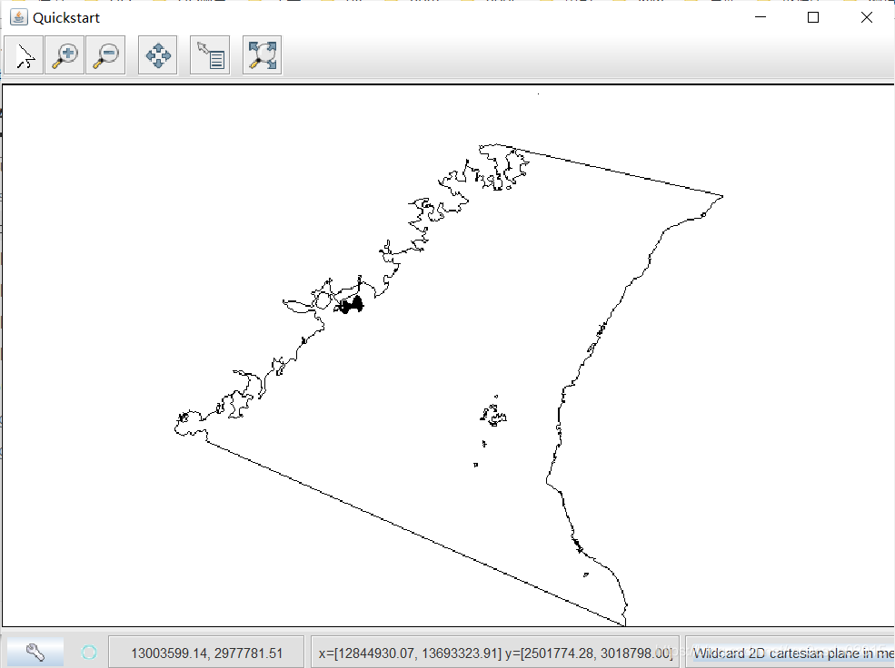
2、源码,直接放在main函数中运行
// 调用文件对话框,获取shp文件
File file = JFileDataStoreChooser.showOpenFile("shp", null);
if (file == null) {
return;
}
// 存储文件变量为简单要素源变量
FileDataStore store = FileDataStoreFinder.getDataStore(file);
SimpleFeatureSource featureSource = store.getFeatureSource();
// 创建地图变量,设置标题、样式、图层
MapContent map = new MapContent();
map.setTitle("Quickstart");
Style style = SLD.createSimpleStyle(featureSource.getSchema());
Layer layer = new FeatureLayer(featureSource, style);
map.addLayer(layer);
// 窗体显示地图
JMapFrame.showMap(map);
源文档( https://docs.geotools.org/stable/userguide/tutorial/quickstart/maven.html )